Blog


European data on animals aloft now publicly available
March 05, 2025
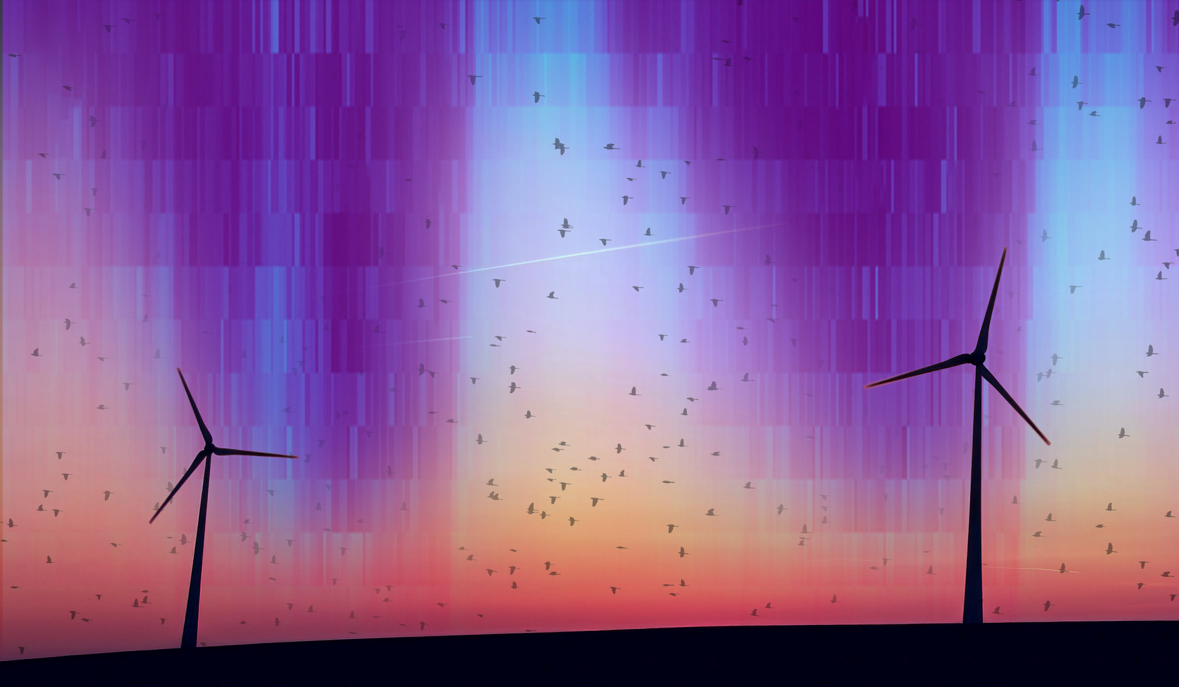
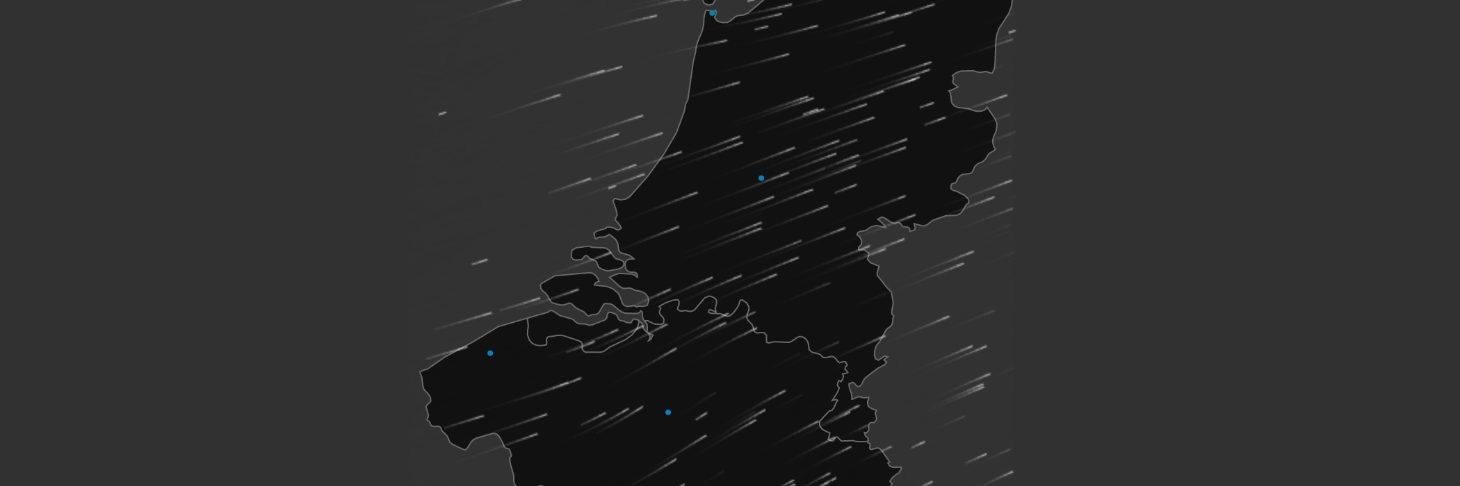
Weather radars detect more than weather, they also continuously register the movements of billions of animals (birds, bats, insects) in...
How I built Geolocator DP using open source code
January 16, 2025
New standard and software for geolocator data was inspired by tools developed by the Open science lab of biodiversity.

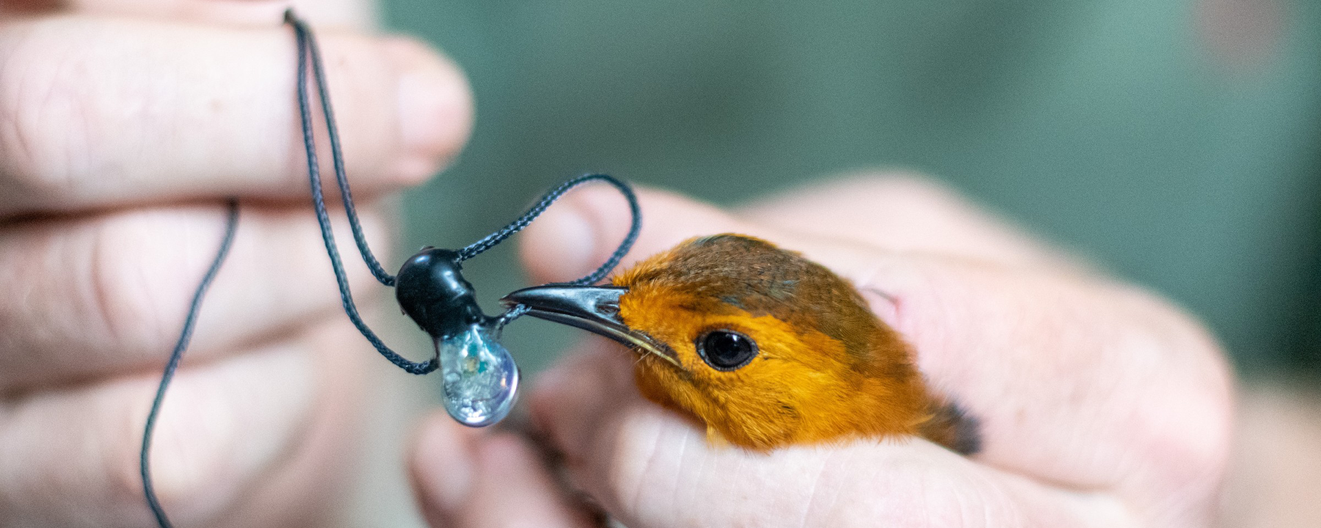
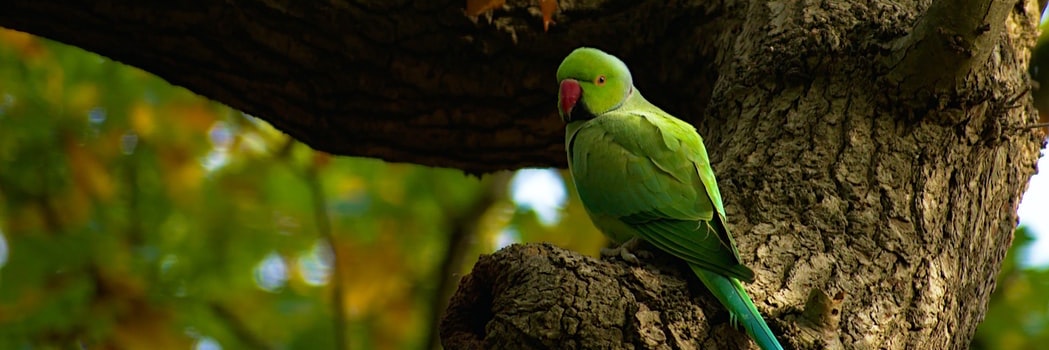
Archiving animal movements as a record of biodiversity
January 03, 2023
Tens of thousands of animals around the world are monitored using GPS trackers to protect wildlife and study animal behaviour....
Research data management workshop
August 29, 2022
Free hands-on introductions to research data management and publication.
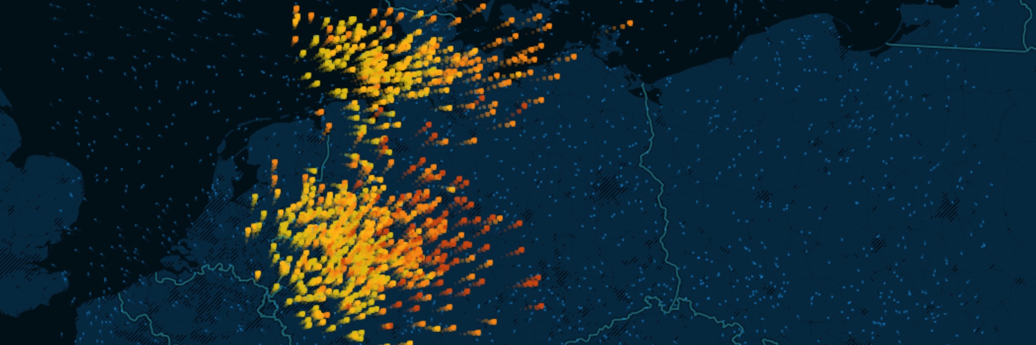
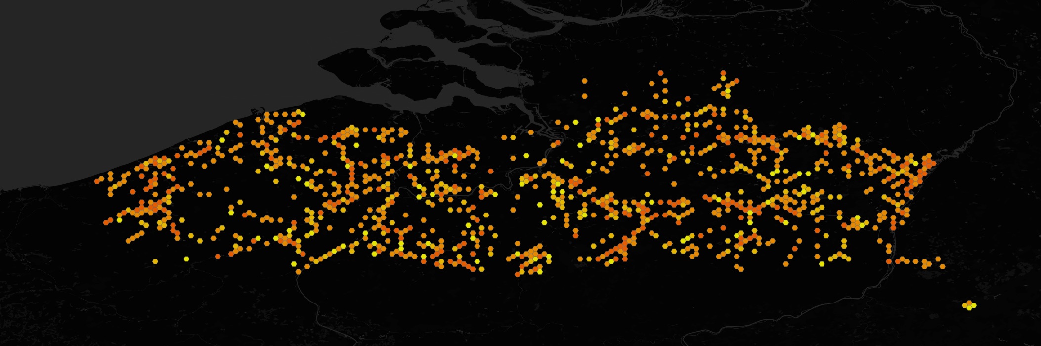
CROW: A new tool to watch bird migration in real time
March 09, 2021
We are launching an interactive visualization to follow bird migration detected by weather radars across the Benelux.
Join us now: Best practices for citizen science data
October 19, 2020
Developing a best practice guide for FAIR data.
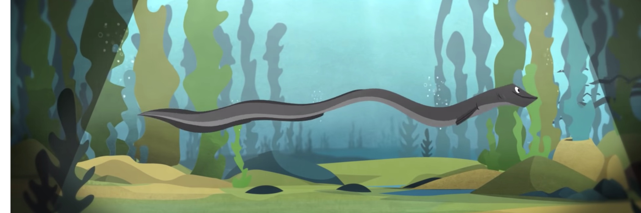
wateRinfo: Downloading tidal data to understand the behaviour of a migrating eel
January 22, 2019
A use case for our R package wateRinfo.
Checklist Recipe: How we created a template to standardize species data
November 20, 2018
Our winning submission to the GBIF Ebbe Nielsen Challenge.
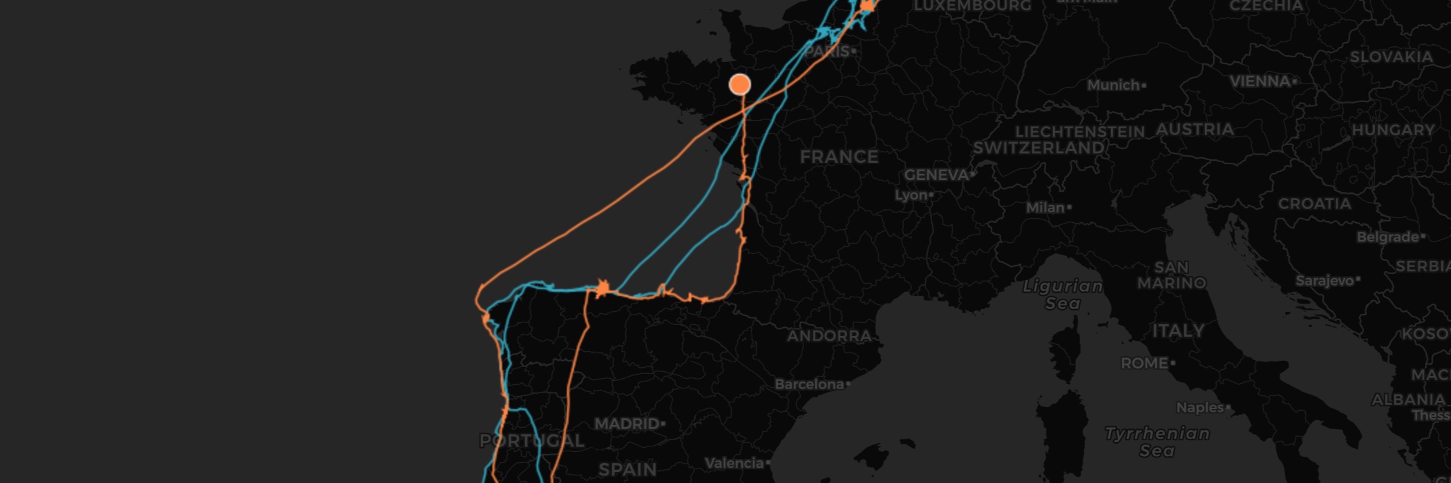
Operation Agadir: an expedition to retrieve lost tracking data
February 22, 2016
Four gulls we lost track of are in Agadir right now. Can we retrieve their tracking data?
A tutorial on visualizing bird tracking data with CartoDB
September 01, 2015
An introduction to using CartoDB for tracking data, based on two workshops we gave.
Bird tracking explorer released
June 30, 2015
We’ve developed an open source tool to let you explore our bird tracking data.
Using CartoDB to visualize how far birds migrate in a single night
June 18, 2015
We created two nocturnal bird migration forward trajectory visualizations for ENRAM.
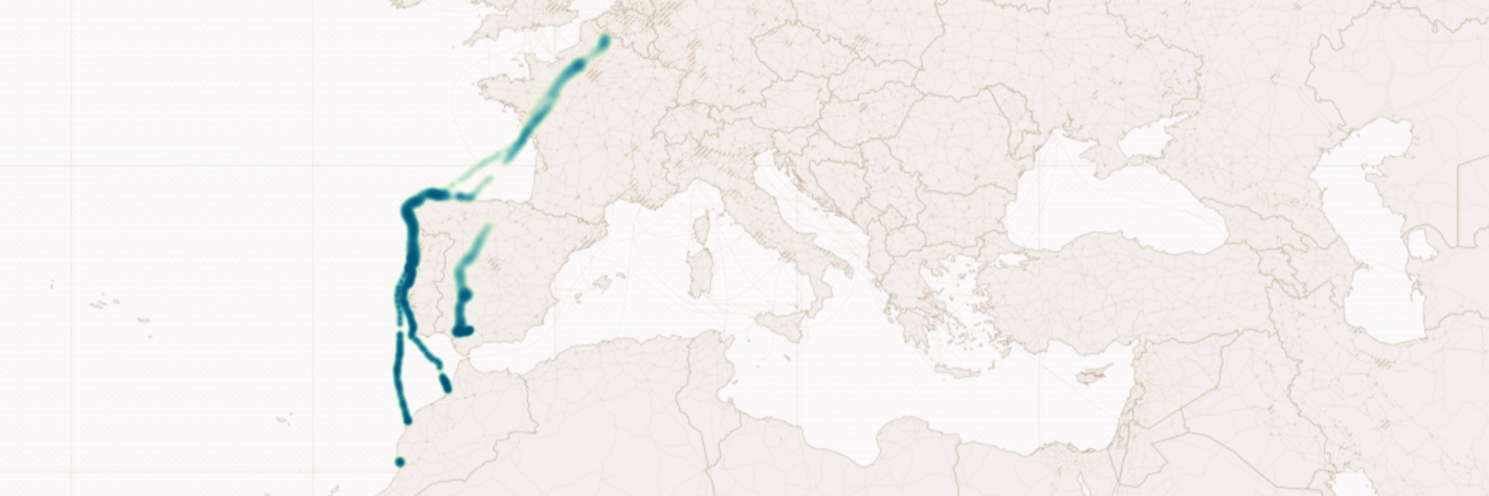
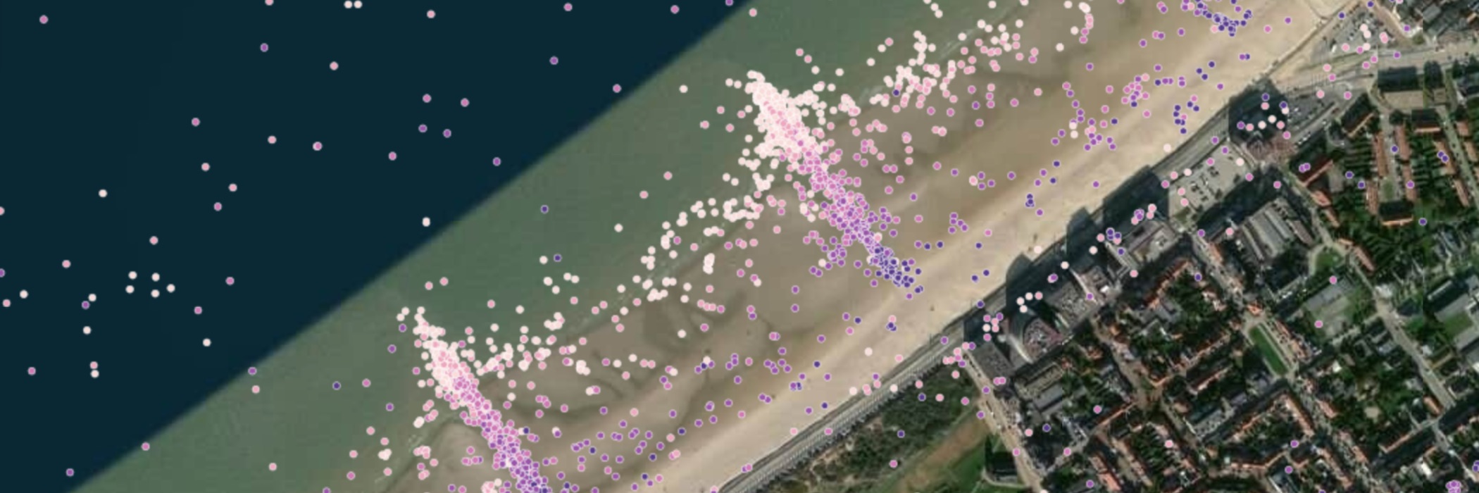
There and back again: gull migration data visualized
May 28, 2015
Using CartoDB to tell migration stories in our recently republished gull tracking data.
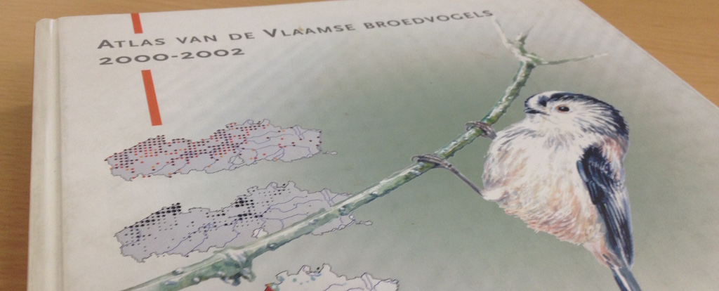
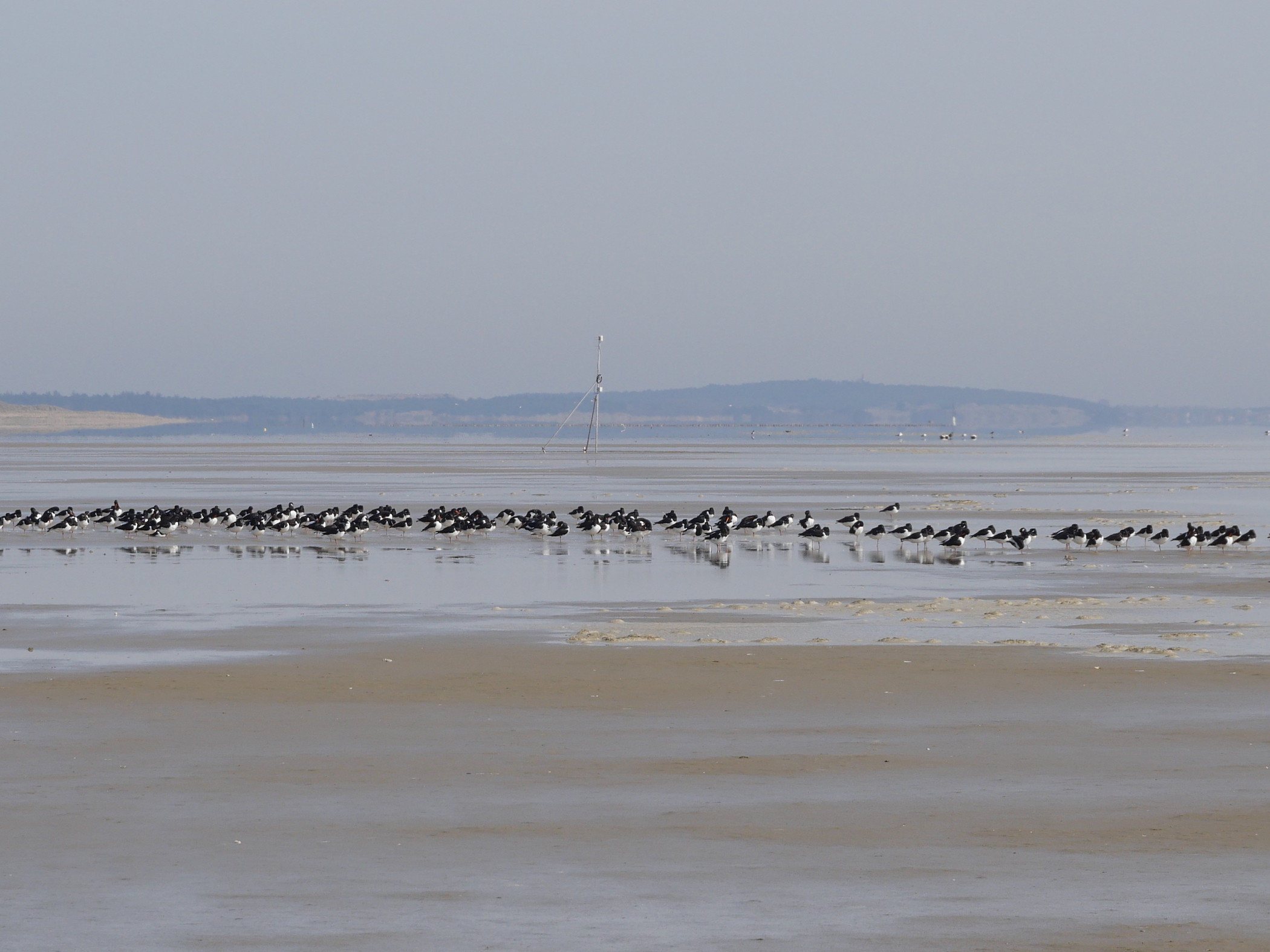
Breeding birds atlas 2000-2002 is published as open data
May 08, 2015
Historical observation data on breeding birds are now available for everyone to use.
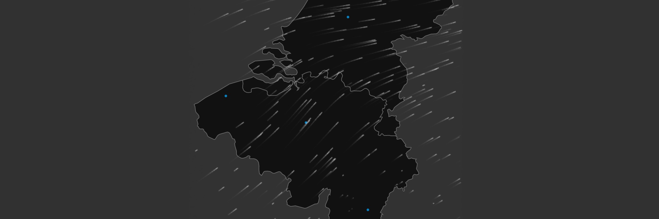
Our flow visualization is featured in Nature
March 05, 2015
The current issue of Nature discusses some of the visualization tools we use.
22 winters of waterbird counts are published as open data
November 27, 2014
Another core data system of the INBO is now available for everyone to use.
Gull tracking data from the 2013 breeding season are published as open data
July 22, 2014
Our first set of tracking data are now available for everyone to use.
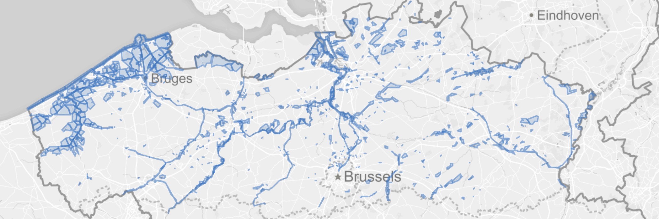
Visualizing one week of bird migration detected by weather radars
June 10, 2014
We created a bird migration flow visualization for ENRAM during a 5 day hackathon.
VIS, a database on fishes in Flanders, is published as open data
April 14, 2014
How we used GBIF tools and CC0 to publish over 400,000 fish occurrences.
Visualizing the behaviour of three gulls during breeding season
January 22, 2014
More CartoDB visualizations… for the VLIZ Young Marine Scientists’ Day.
Using CartoDB to visualize two months in the life of gull Eric
October 01, 2013
Exploring different ways to visualize and analyze tracking data with CartoDB.
Reporting on open science
August 06, 2013
We’re following a course on open access, open data, and open research.